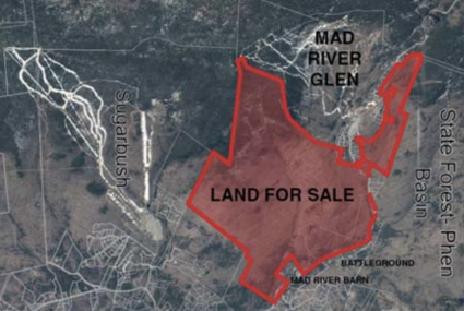


Stark Mountain hikers may park free of charge in the Mad River Glen ski area parking lot. Walk across Route 17 through the Mad River Glen base area. Pass through the Mad River Glen entrance and take a left before the Single Chair lift building, or go straight past the Basebox on your right. The hiking kiosk is next to the flag pole across from the Basebox. Turn to your left when facing the sign, and then head up the work road to begin the hike. The learn more about the Stark Mountain Foundation and their initiatives, click here to visit their website.
Hiking Map & Guide to General Stark Mountain
(2.5 miles to the summit – 2,036’, elevation gain)
The trail begins at the base of Mad River Glen and follows the wide, well-established work road under the Single Chair. The road meanders up past a large waterfall and ends where it hits the Long Trail (LT) and Stark’s Nest. Continue north past the shelter on the LT for a longer loop that connects to the Sunnyside Trail.
This alternative route is slightly steeper than the Stark Mountain Trail. It ascends the “Bunny” ski trail and rejoins the Stark Mountain Trail about 0.5 miles below the Single Chair mid-station. This intersection is just 0.2 miles downhill from the Sunnyside Trail and cuts off 0.4 miles of the Stark Mountain Trail.
(0.4 miles, 300’ elevation gain)
The Sunnyside trail begins at the intersection with the Stark Mountain trail. To reach the Sunnyside trail from the base of Mad River Glen take the Stark Mountain Trail uphill until you reach the trail junction. Take a right at the intersection to follow the ski trail uphill to the Sunnyside Double Lift.

(2.1 miles, 1,400’ elevation gain)
This section of the LT runs south from the Appalachian Gap to the top of the Single Chair. It intersects the Sunnyside Trail at the top of the Sunnyside Double lift and the Stark Mountain Trail at the top of the Single Chair. For a longer hike, continue south on the LT to where it intersects with the Jerusalem Trail, Mount Ellen, or Lincoln Gap.
(2.4 miles, 1,800’ descent)
The Jerusalem trail intersects the LT south of the Stark Mountain Trail. It leads to the Jim Dwire Road trailhead parking area in Jerusalem. To get there from the base of Mad River Glen, hike the Stark Mountain Trail to the LT intersection. Head south on the LT for 0.9 miles past the unmarked 3,661ft summit of Stark Mountain and take a right at the trail junction.